
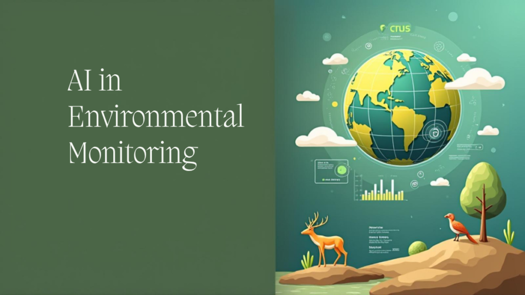
Introduction
How is AI used in environmental monitoring? It’s a question at the intersection of technology and sustainability one that matters more than ever as climate change accelerates and ecological systems strain under human impact.
In this blog post, you’ll learn:
- What environmental monitoring is
- How artificial intelligence (AI) enhances monitoring systems
- Real-world examples across air, water, land, and wildlife monitoring
- Challenges, benefits, and ethical considerations
- FAQs and practical insights on how AI can support environmental sustainability
Let’s dive in.
How is AI Used in Environmental Monitoring?
Short answer:
AI is used in environmental monitoring to analyze large volumes of real-time data from sensors, satellites, and cameras, enabling faster detection of pollution, deforestation, climate shifts, and biodiversity changes.
AI systems automate data analysis, identify patterns, forecast environmental changes, and support rapid responses—all with greater accuracy and efficiency than manual monitoring.
What Is Environmental Monitoring?
Environmental monitoring is the systematic collection of data related to air, water, soil, wildlife, and climate to assess the quality and health of ecosystems. It helps governments, researchers, and businesses detect changes in the environment and plan appropriate actions.
Key Areas of Environmental Monitoring
- Air quality
- Water resources
- Soil and land use
- Biodiversity and wildlife
- Climate and weather patterns
These areas involve massive data flows—from satellite images to sensor readings—which makes AI a powerful ally.
How AI Enhances Environmental Monitoring
AI supports environmental monitoring in several core ways:
1. Real-Time Data Processing
AI systems process vast amounts of environmental data in real time. This includes data from:
- Remote sensors (e.g., air pollution detectors)
- Satellite imagery (e.g., deforestation tracking)
- Drone footage (e.g., wildlife population surveys)
- IoT networks (e.g., smart agriculture and water usage)
By using machine learning (ML) models, AI can detect anomalies, patterns, or threats—instantly.
Example: NASA and ESA use AI to analyze satellite data for tracking ice sheet melting and sea-level rise.
2. Predictive Analytics
AI uses historical data to forecast future environmental trends. These predictions help prepare for:
- Natural disasters (e.g., floods, wildfires)
- Climate impacts (e.g., drought patterns)
- Species migration or extinction
Example: IBM’s Green Horizons project uses AI to predict air pollution levels in Chinese cities 72 hours in advance with high accuracy.
3. Computer Vision in Ecology
Computer vision, a subset of AI, enables automated interpretation of images and video.
- Wildlife cameras: AI identifies species and behaviors
- Forest monitoring: Drones capture forest canopy changes, and AI assesses health
- Illegal activity detection: AI can detect poaching or deforestation in protected areas
Example: Google’s Wildlife Insights platform uses AI to identify animals in camera trap images, accelerating biodiversity research.
4. Natural Language Processing (NLP)
AI models analyze environmental reports, news, or scientific literature to extract insights.
- Policy analysis
- Environmental impact reports
- Sustainability disclosures from corporations
Example: NLP is used to track deforestation trends from multilingual news sources across the globe.
Real-World Applications of AI in Environmental Monitoring
Air Quality Monitoring
- AI integrates with sensors in urban environments to measure pollutants like PM2.5, NOx, and CO2.
- ML models predict pollution spikes and help enforce regulatory standards.
Case Study: Microsoft’s AI for Earth initiative funded PlanetWatch, which uses AI-powered citizen sensors to monitor air quality in real-time.
Water Quality and Ocean Monitoring
- AI models detect harmful algal blooms, oil spills, and contamination.
- Underwater drones combined with AI assess coral reef health and ocean pollution.
Case Study: OceanMind uses AI and satellite tracking to monitor illegal fishing and protect marine biodiversity.
Deforestation and Land Use
- Satellite images processed by AI track illegal logging and land degradation.
- AI helps classify land types, urban sprawl, and habitat loss.
Case Study: Global Forest Watch uses AI to provide deforestation alerts globally within days, aiding conservation responses.
Wildlife Conservation
- AI counts endangered species using drone footage or infrared images.
- Poaching hotspots are identified with AI-based threat prediction models.
Case Study: SMART Conservation Software integrates AI to optimize patrol routes in protected areas.
Climate Change Monitoring
- AI models integrate climate data from multiple sources to analyze trends in temperature, rainfall, and sea levels.
- Supports early warning systems for climate disasters.
Stat to Know: According to McKinsey, AI-enabled climate models can be up to 40% more accurate in extreme weather predictions.
Benefits of Using AI in Environmental Monitoring
- ✅ Speed and Accuracy: AI analyzes more data, faster, and with fewer errors
- ✅ Cost-Effectiveness: Reduces the need for manual labor and expensive field studies
- ✅ Scalability: Can monitor vast areas like oceans, forests, and cities
- ✅ Predictive Power: Enables better disaster preparedness and environmental planning
- ✅ Automation: Frees up human experts to focus on high-level strategy and intervention
Challenges and Ethical Concerns
While AI brings massive potential, it also presents key challenges:
- Data Bias and Gaps: Unequal geographic data coverage can lead to blind spots
- Energy Usage: Some AI models are resource-intensive
- Lack of Transparency: Black-box models may obscure decision-making
- Privacy Concerns: Especially with surveillance for wildlife or pollution control
FAQs: AI in Environmental Monitoring
How does AI analyze satellite data for environmental use?
Short answer: AI uses image recognition and pattern detection to classify land cover, detect changes, and monitor conditions.
Longer explanation: Machine learning algorithms are trained on labeled satellite data to identify features like water bodies, forests, or urban areas. These models detect changes over time—like deforestation or glacier melting—and trigger alerts.
Can AI predict natural disasters?
Short answer: Yes, AI can forecast natural disasters using historical and real-time data.
Longer explanation: AI combines weather data, topography, and past disaster events to predict hurricanes, floods, or wildfires. This enables quicker emergency response and risk mitigation.
Is AI used to track endangered species?
Short answer: Yes, AI helps count, identify, and monitor endangered animals using image and audio data.
Longer explanation: AI-equipped drones or camera traps capture images, and models classify species, estimate population sizes, and identify threats like poaching or habitat destruction.
How reliable are AI-based environmental systems?
Short answer: AI systems are highly reliable when trained on robust, high-quality data.
Longer explanation: Like all models, AI tools require continuous validation and updates. The more diverse and complete the input data, the better the model’s accuracy and reliability.
What are the limitations of AI in environmental monitoring?
Short answer: Data gaps, model biases, high computational costs, and interpretation challenges.
Longer explanation: AI is only as good as the data it learns from. Environmental contexts with sparse data—like remote regions—can be difficult to monitor accurately.
Optional: How to Build a Simple AI-Powered Monitoring System
Step 1: Collect environmental data (e.g., from open-source satellite data or local sensors)
Step 2: Preprocess the data (cleaning, formatting, labeling)
Step 3: Choose an ML model (classification, regression, etc.)
Step 4: Train the model on historical data
Step 5: Deploy with dashboards or alerts for real-time monitoring
Step 6: Continuously retrain the model with new data
Conclusion
AI is transforming how we monitor, understand, and protect the environment. From tracking air quality and predicting natural disasters to conserving endangered species and combating deforestation, AI’s impact is both profound and growing.
As data becomes more abundant and accessible, AI will only become more integral to global sustainability efforts.
Need help building AI solutions for environmental or sustainability projects?
Granu AI offers real-world support and custom tools to turn data into action.
Internal and External References
Internal Links:
- AI Ethics Consulting – Granu AI
- Explainable AI: Why It Matters – Granu AI Blog
- https://granu.ai/can-ai-models-predict-environmental-changes-accurately/
External Links: